The Humber River Trail Guide: Six Access Points, South to North
Etobicoke Lifestyle Dave Dubbin August 16, 2026
Etobicoke Lifestyle Dave Dubbin August 16, 2026
The Humber River Trail runs from the Humber Bay Arch Bridge at the lake, north through the Old Mill valley, past Magwood and up to Lambton and beyond. The Etobicoke and west end stretch we walk most is roughly 6 km one way, paved almost the whole distance, with very little climbing. You can pick it up at six places without much trouble, and this is the guide to which one to use.
Curious which west end pockets back onto this valley? Have a look at our neighbourhood guides.
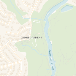
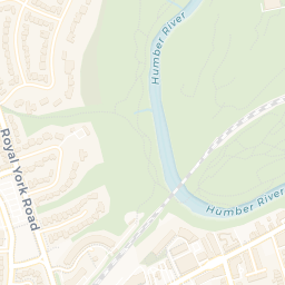
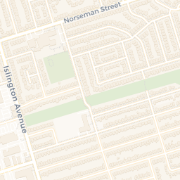
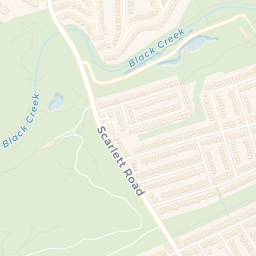
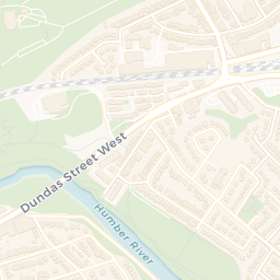
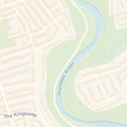
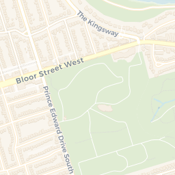
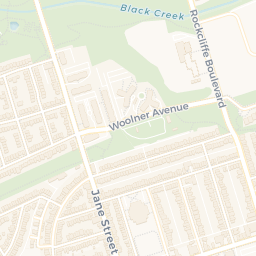
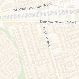
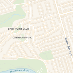
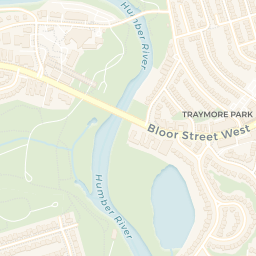
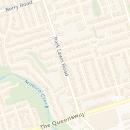
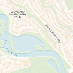
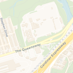
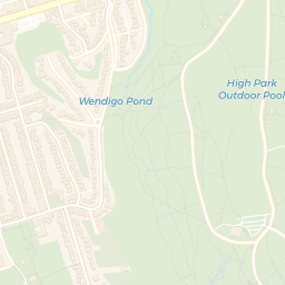
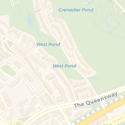
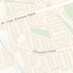
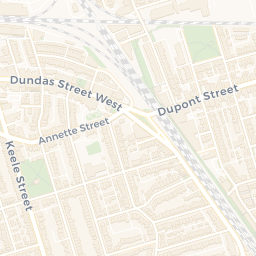
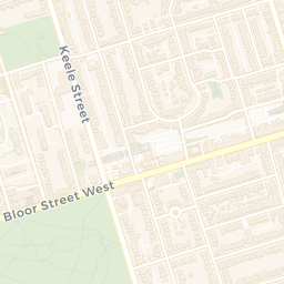
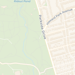
Map data © OpenStreetMap contributors, tiles © CARTO. Marker positions geocoded from OpenStreetMap.
The white steel arch at the mouth of the river is where the Humber trail meets the Martin Goodman Trail along the lake. Start here if you want the view. The bridge opened in 1994 and it is still the most photographed thing in the west end. Head north and within five minutes the city noise drops off and you are in the Humber marshes.
Off Old Mill Drive, just south of the Old Mill bridge. This is the quiet middle section, wide grass on one bank and the paved path on the other. Good place to start if the lakeside lots are full, and it puts you a ten minute walk from the Old Mill subway station.
The one most people mean when they say the Humber trail. Named for the French explorer who came up this river in 1615, it sits right below the old stone arch bridge and the ruins of the mill. Parking off Catherine Street. In late September this stretch fills up with people watching salmon run the river, which is a genuinely strange thing to witness inside a city of three million.
Directly across the water from Étienne Brûlé, accessed from Riverside Drive. Narrower, shadier, and usually emptier. The road parking here is the thing locals know about and visitors do not.
North again on the east bank, tucked under the Riverside Drive slope. Small, steep at the entrance, and it connects through to the wider valley. This is the section where the ravine walls get tall enough that you forget how close Dundas Street is.
The northern end of our stretch, near Old Dundas Street. Lambton House, the 1848 hotel that served the mills along this part of the river, still stands just up the hill and runs exhibits and events. From here the trail keeps going north toward James Gardens, Scarlett Mills and eventually Steeles, so 6 km is only where we stop, not where the trail does.
If this valley is the reason you are looking at the west end, start here:
Access point | Nearest transit | Parking |
|---|---|---|
Humber Bay Arch Bridge | 501 Queen streetcar at Humber Loop, then south | Sir Casimir Gzowski Park and Humber Bay Park lots |
King’s Mill Park | Old Mill station, Line 2 | Small lot off Old Mill Drive |
Étienne Brûlé Park | Old Mill station, Line 2 | Lot off Catherine Street, fills early on weekends |
Home Smith Park | Old Mill station, Line 2 | Roadside on Home Smith Park Road |
Magwood Park | Jane station, then the 55 Warren Park bus | Roadside on Magwood Court |
Lambton Park | Jane station, then the 30 Lambton bus | Roadside near Old Dundas Street |
Transit routes as of August 2026. Check current schedules before you go.
The City keeps a list of Toronto trails with closure notices, which is worth a look after heavy rain. The lower sections along the river flood. That is not a defect, it is the floodplain doing its job, and it matters for the next section.
Ravine adjacency is one of the few genuinely fixed supplies in Toronto real estate. Nobody is making more lots that back onto the Humber. Supply that cannot respond to price is what economists call inelastic, and inelastic supply is why these streets hold value differently than the blocks two over. Riverside Drive, Old Mill Drive, the Baby Point edge and parts of Humber Valley all trade on it.
The cost side is real too. Much of the land near the valley falls under Toronto’s Ravine and Natural Feature Protection By-law and the Toronto and Region Conservation Authority’s regulated area. Removing a tree, adding an addition, regrading a yard or putting in a pool can all require a ravine permit on top of a building permit. Timelines stretch. Some projects get scoped down. A buyer paying a ravine premium should price in the fact that the ravine also limits what they can build.
Two more things worth knowing before you fall for a lot. Insurance for properties in a floodplain can be priced differently or excluded for overland water, so get a quote during your conditional period rather than after. And a slope stability assessment is a reasonable thing to ask for on a deep ravine lot, particularly on older homes where the grading has shifted.
The counterpoint: none of that stops people from buying here, and it has not for fifty years. The permits are an inconvenience, not a prohibition, and the reason the premium persists is that the valley is genuinely rare. What would change our read is a material tightening of the ravine by-law or a change in how insurers price floodplain risk in Ontario. Neither has happened as of August 16, 2026, and we watch both.
Looking at something backing onto the valley? Talk to us first. We will tell you what the ravine designation means for that specific lot before you write.
Dave Dubbin
Etobicoke Real Estate Expert
Dave Dubbin & Associates
Real Estate Broker for Etobicoke and Toronto
Sotheby's International Realty, Canada
Stay up to date on the latest real estate trends.
Liberty Villiage
Etobicoke Lifestyle & Community
Liberty Villiage
Buyer Advice
Buyer Advice
Market Insight

Buyer Advice
Community Feature

Market Insight

DAVE DUBBIN & ASSOCIATES
3109 BLOOR ST W #1 TORONTO ON M8X 1E2 CANADA